Mouse LatLon:
Cruise Info
| Cruise ID | LPRS01RR |
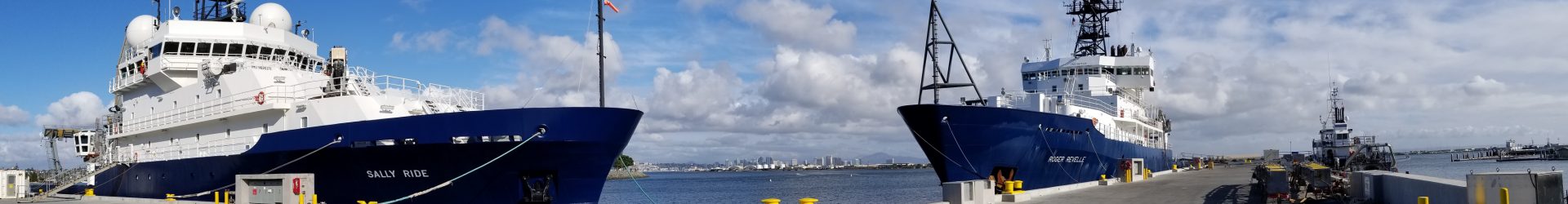
| Vessel | R/V ROGER REVELLE |
| Title | LAPEROUSE Expedition (LPRS) |
| Abstract | We will be using the R.V. Roger Revelle to conduct repeat horizontal and vertical deformation measurements of two seafloor geodetic arrays; (1) approximately 30 km east of the South Cleft Segment of the Juan de Fuca Ridge and (2) Approximately 130 km west of Newport, Oregon. We will make these measurements using the GPS/Acoustic approach, a deep-towed vehicle (MPL Deep Tow Control Vehicle) and a seafloor survey device. |
| Proposal Title | Juan de Fuca Plate Geodesy: Juan de Fuca Ridge and Cascadia Subduction Zone |
| Starting Port | San Diego, California, USA |
| Ending Port | Newport, Oregon, USA |
| Starting Date | 2002-06-08 |
| Ending Date | 2002-06-22 |
| Principal Investigator | Spiess, Fred N. |